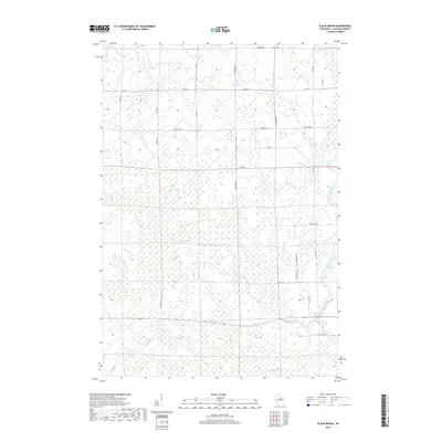
2018 Map of Black Brook
USGS Topo · Published 2018About this map
Peck Cem sits at the northern edge of this landscape, serving as a quiet focal point in a territory defined by its dense network of waterways. The drainage pattern here is particularly intricate, with the Pine River and Trappe River flowing through central and western sections, while the West Branch Eau Claire River meanders along the eastern border. These river systems are joined by smaller tributaries like Lloyd Cr and the map's namesake Black Brook, illustrating the hydrologic character of rural Langlade County. The road network, including names like Game Farm Rd and Town Forest Rd, reflects the area's history of land management and recreation. This survey captures a moment in the 21st century where the primary human footprint remains focused on rural access and forestry, maintaining the integrity of the natural watercourses that have shaped this region for generations.
Find a feature on this map
27 named features on this map. Tap any name to fly to it.
Don’t see what you’re looking for? This feature index may not catch every label — zoom into the map to look around manually.
Map Details
Editions of this 2018 Black Brook Map
This is the sole edition of this map. No revisions or reprints were ever made.
Other maps of this area

1899 · Wausau
USGS Topo · 1:125,000

1902 · Wausau
USGS Topo · 1:125,000

1940 · Parrish
USGS Topo · 1:48,000

1942 · Elcho
USGS Topo · 1:48,000

1950 · Elcho
USGS Topo · 1:48,000

1950 · Parrish
USGS Topo · 1:48,000

1951 · Doering
USGS Topo · 1:48,000

1952 · Parrish
USGS Topo · 1:48,000

1952 · Antigo
USGS Topo · 1:48,000

1954 · Iron Mountain
USGS Topo · 1:250,000