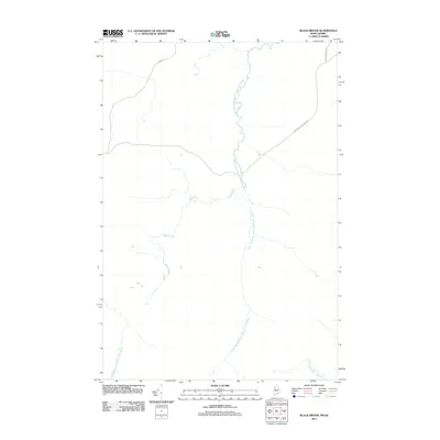
2011 Map of Black Brook
USGS Topo · Published 2011About this map
The Little Southwest Branch Saint John River defines the central drainage of this borderland region, where the industrial logging landscape of the early 21st century is evident in the network of specialized transit routes. Private infrastructure, such as the International Paper Rd and Carter Nine Mile Rd, crisscrosses the terrain, signaling the area's primary economic tie to the timber industry. The hydrology is dominated by the winding path of Black Brook and the Southwest Branch Saint John River, which flow through a sparsely populated landscape along the Maine-Quebec boundary. This survey provides a clear look at the intersection of international borders and commercial forestry corridors during a period of modern land management.
Find a feature on this map
7 named features on this map. Tap any name to fly to it.
Don’t see what you’re looking for? This feature index may not catch every label — zoom into the map to look around manually.
Map Details
Editions of this 2011 Black Brook Map
This is the sole edition of this map. No revisions or reprints were ever made.
Other maps of this area

1957 · Norris Brook
USGS Topo · 1:62,500

1957 · Hardwood Mountain
USGS Topo · 1:62,500

1957 · Saint Zacharie
USGS Topo · 1:62,500

1962 · Quebec
USGS Topo · 1:250,000
1986 · Lac Etchemin
USGS Topo · 1:100,000
1989 · Hurricane Pond
USGS Topo · 1:24,000
1989 · Black Brook
USGS Topo · 1:24,000
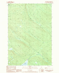
1989 · Hurricane Hill
USGS Topo · 1:24,000
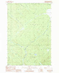
1989 · Norris Brook
USGS Topo · 1:24,000
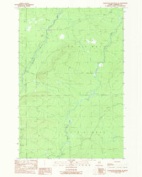
1989 · Hardwood Mountain SE
USGS Topo · 1:24,000