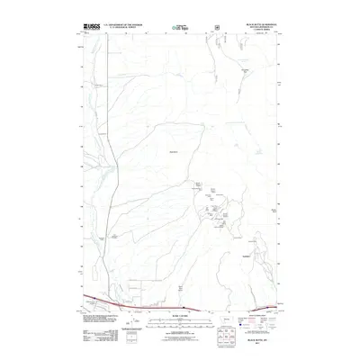
2011 Map of Black Butte
USGS Topo · Published 2011About this map
Black Butte rises as a central landmark in this Jefferson County landscape, overseeing a terrain defined by historical ranching and a dense concentration of mining operations. To the south and east, the map reveals a sophisticated mineral district featuring numerous named workings such as the Golden Mine, Sunlight Mine, Examiner Mine, and the Carbonate Mine. These sites, alongside many section-specific mines, indicate a significant legacy of extraction that shaped the local economy and settlement patterns.
Find a feature on this map
48 named features on this map. Tap any name to fly to it.
Don’t see what you’re looking for? This feature index may not catch every label — zoom into the map to look around manually.
Map Details
Editions of this 2011 Black Butte Map
This is the sole edition of this map. No revisions or reprints were ever made.
Other maps of this area

1886 · Fort Logan
USGS Topo · 1:250,000

1888 · Three Forks
USGS Topo · 1:250,000

1889 · Helena
USGS Topo · 1:250,000

1893 · Helena
USGS Topo · 1:250,000

1893 · Dillon
USGS Topo · 1:250,000

1894 · Three Forks
USGS Topo · 1:250,000

1895 · Three Forks
USGS Topo · 1:250,000

1899 · Boulder
USGS Topo · 1:125,000

1899 · Helena
USGS Topo · 1:250,000

1903 · Helena
USGS Topo · 1:250,000