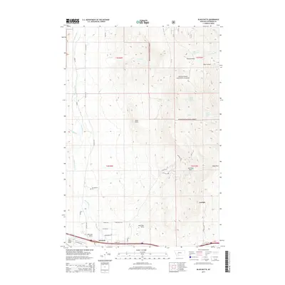
2014 Map of Black Butte
USGS Topo · Published 2014About this map
Whitehall serves as the focal point for this high-altitude landscape, where the valley floor meets the eastern reaches of the Deerlodge National Forest. The geography is defined by the descent of Whitetail Deer Cr and Little Whitetail Cr toward the southern drainage systems. Local history is anchored by Old Whitehall and the nearby Old Whitehall Cem, which preserve the early footprint of the community before its primary center shifted south toward the Whitetail-Ditch.
Find a feature on this map
76 named features on this map. Tap any name to fly to it.
Don’t see what you’re looking for? This feature index may not catch every label — zoom into the map to look around manually.
Map Details
Editions of this 2014 Black Butte Map
This is the sole edition of this map. No revisions or reprints were ever made.
Other maps of this area

1886 · Fort Logan
USGS Topo · 1:250,000

1888 · Three Forks
USGS Topo · 1:250,000

1889 · Helena
USGS Topo · 1:250,000

1893 · Helena
USGS Topo · 1:250,000

1893 · Dillon
USGS Topo · 1:250,000

1894 · Three Forks
USGS Topo · 1:250,000

1895 · Three Forks
USGS Topo · 1:250,000

1899 · Boulder
USGS Topo · 1:125,000

1899 · Helena
USGS Topo · 1:250,000

1903 · Helena
USGS Topo · 1:250,000