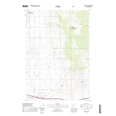
2020 Map of Black Butte
USGS Topo · Published 2020About this map
Whitehall sits at the southern edge of this Jefferson County landscape, serving as a hub where the Whitetail Valley meets the foothills of the Deerlodge National Forest. This modern survey reveals a complex irrigation and water management system essential to the high mountain valley, featuring the Pipestone Ditch, Whitetail Ditch, and numerous named springs like Mud Spring and Tebay Spring. The transition from the developed valley floor to the prominent rising summit of Black Butte illustrates the geographic boundary between agricultural ranch land and the protected timberlands to the north. Local history is anchored by the Old Whitehall Cem, while the inclusion of the Jefco Skypark and the rural community of Sunlight demonstrates the continued evolution of settlement patterns in this part of Montana. For those tracing land use, the map details many named roads including Paul Gulch Rd and Whitetail Rd that navigate the drainages of Whitetail Deer Cr and Conrow Cr.
Find a feature on this map
41 named features on this map. Tap any name to fly to it.
Don’t see what you’re looking for? This feature index may not catch every label — zoom into the map to look around manually.
Map Details
Editions of this 2020 Black Butte Map
This is the sole edition of this map. No revisions or reprints were ever made.
Other maps of this area

1886 · Fort Logan
USGS Topo · 1:250,000

1888 · Three Forks
USGS Topo · 1:250,000

1889 · Helena
USGS Topo · 1:250,000

1893 · Helena
USGS Topo · 1:250,000

1893 · Dillon
USGS Topo · 1:250,000

1894 · Three Forks
USGS Topo · 1:250,000

1895 · Three Forks
USGS Topo · 1:250,000

1899 · Boulder
USGS Topo · 1:125,000

1899 · Helena
USGS Topo · 1:250,000

1903 · Helena
USGS Topo · 1:250,000