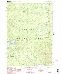
1988 Map of Black Butte
USGS Topo · Published 1988About this map
Black Butte and its prominent Lookout House dominate the southeastern landscape of this Jefferson and Deschutes County border region. The area is defined by the headwaters of the Metolius River, which emerges from the ground at Metolius Spring and flows north past a concentration of recreational sites. The settlement of Camp Sherman serves as a hub for travelers, surrounded by numerous designated areas like the Smiling River Campground and Allingham F S Station.
Find a feature on this map
37 named features on this map. Tap any name to fly to it.
Don’t see what you’re looking for? This feature index may not catch every label — zoom into the map to look around manually.
Map Details
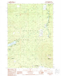
Editions of this 1988 Black Butte Map
2 editions found
Other maps of this area

1927 · Mt. Jefferson
USGS Topo · 1:125,000

1929 · Three Sisters
USGS Topo · 1:125,000

1930 · Mt. Jefferson
USGS Topo · 1:125,000

1932 · Three Sisters
USGS Topo · 1:125,000

1955 · Bend
USGS Topo · 1:250,000

1957 · Bend
USGS Topo · 1:250,000

1958 · Bend
USGS Topo · 1:250,000

1959 · Three Fingered Jack
USGS Topo · 1:62,500

1959 · Sisters
USGS Topo · 1:62,500

1961 · Whitewater River
USGS Topo · 1:62,500