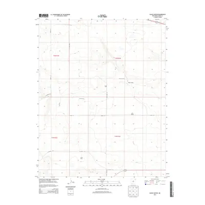
2013 Map of Black Canyon
USGS Topo · Published 2013About this map
Heringa Ranch and its surrounding high plains landscape define this section of Union County, where life revolves around the scarce water resources of the high desert. The drainage of Perico Cr carves through the terrain, most notably at the namesake Black Canyon, while Carrizo Cr clips the southwestern corner. This is a region defined by ranching infrastructure, where water for livestock is secured through a series of named landmarks including the Rummel Windmill, Myers Windmill, and Bull Pasture Windmill. The map traces the essential roadway network of the era, from the long stretch of Heringa Rd to CO Highway A-016 and CO Highway A-017, providing a precise record of how these remote ranchlands were accessed and maintained.
Find a feature on this map
18 named features on this map. Tap any name to fly to it.
Don’t see what you’re looking for? This feature index may not catch every label — zoom into the map to look around manually.
Map Details
Editions of this 2013 Black Canyon Map
This is the sole edition of this map. No revisions or reprints were ever made.
Other maps of this area

1954 · Dalhart
USGS Topo · 1:250,000

1958 · Dalhart
USGS Topo · 1:250,000

1962 · Dalhart
USGS Topo · 1:250,000

1966 · Royce
USGS Topo · 1:24,000

1966 · Black Canyon
USGS Topo · 1:24,000

1966 · Tate School
USGS Topo · 1:24,000

1966 · Sand Hill
USGS Topo · 1:24,000

1972 · Mount Dora
USGS Topo · 1:24,000

1972 · Bible Top Butte
USGS Topo · 1:24,000

1973 · Snyder Lake
USGS Topo · 1:24,000