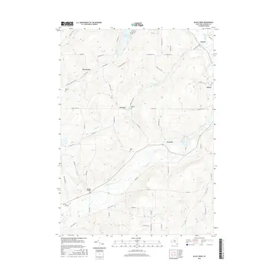
2016 Map of Black Creek
USGS Topo · Published 2016About this map
The Genesee Valley Canal remains a visible historical imprint on the Allegany County landscape, tracing a path through the valley near the settlement of Black Creek. This 2016 survey illustrates the persistent rural character of the region, where small hamlets like Rockville, McGrawville, and Oramel are connected by a network of named hill roads. The terrain is defined by significant elevation changes, such as McNamara Hill Rd and Bennett Hill Rd, which rise above the water bodies of Rushford Lake and Rockville Lake. For genealogists, the map provides precise locations for family burial grounds including Sayers Cem, Belleville Cem, and Marshall Cem. The flow of the Genesee River in the northeast corner and the course of Rush Creek emphasize the importance of the river-and-canal geography that historically shaped these Western New York communities.
Find a feature on this map
68 named features on this map. Tap any name to fly to it.
Don’t see what you’re looking for? This feature index may not catch every label — zoom into the map to look around manually.
Map Details
Editions of this 2016 Black Creek Map
This is the sole edition of this map. No revisions or reprints were ever made.
Other maps of this area

1898 · Olean
USGS Topo · 1:62,500

1906 · Angelica
USGS Topo · 1:62,500

1924 · Franklinville
USGS Topo · 1:62,500

1925 · Belmont
USGS Topo · 1:62,500

1938 · Olean
USGS Topo · 1:62,500

1939 · Belmont
USGS Topo · 1:62,500

1941 · Angelica
USGS Topo · 1:62,500

1942 · Franklinville
USGS Topo · 1:62,500

1943 · Olean
USGS Topo · 1:62,500

1960 · Buffalo
USGS Topo · 1:250,000