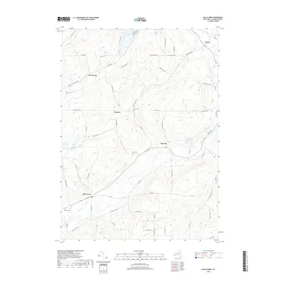
2019 Map of Black Creek
USGS Topo · Published 2019About this map
Oramel and the Genesee River anchor the northeastern corner of this Allegany County landscape, where the terrain transitions into a series of deeply carved valleys and high ridges. The settlement pattern follows the local waterways, with Black Creek and Rockville situated along the primary valley floors. For genealogists, several family and community burial grounds are documented, including Sayers Cem near the center of the quadrangle and Bellville Cem further west, providing essential points for tracing local lineage in the area.
Find a feature on this map
69 named features on this map. Tap any name to fly to it.
Don’t see what you’re looking for? This feature index may not catch every label — zoom into the map to look around manually.
Map Details
Editions of this 2019 Black Creek Map
This is the sole edition of this map. No revisions or reprints were ever made.
Other maps of this area

1898 · Olean
USGS Topo · 1:62,500

1906 · Angelica
USGS Topo · 1:62,500

1924 · Franklinville
USGS Topo · 1:62,500

1925 · Belmont
USGS Topo · 1:62,500

1938 · Olean
USGS Topo · 1:62,500

1939 · Belmont
USGS Topo · 1:62,500

1941 · Angelica
USGS Topo · 1:62,500

1942 · Franklinville
USGS Topo · 1:62,500

1943 · Olean
USGS Topo · 1:62,500

1960 · Buffalo
USGS Topo · 1:250,000