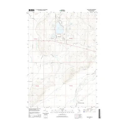
2014 Map of Black Creek
USGS Topo · Published 2014About this map
Bear Lake sits at the center of this northern Michigan landscape, surrounded by a complex network of smaller glacial basins including Cub Lake and Mallard Lake. The terrain is defined by its extensive water systems, from the cluster of Upper Black Lake, Middle Black Lake, and S Black Lake to the meandering course of the Manistee River and its N Br Manistee River branch. In the southern reach of the survey, Pemberthy Crossing marks a specific point of transit over the waters where Portage Cr joins the larger river system. The map documents a residential pattern concentrated near the shorelines, particularly along Lakeview Rd NE and Sunset Shores Dr, while the surrounding sections are characterized by the seasonal wetlands of Cranberry Lake and the drainage of Black Cr.
Find a feature on this map
61 named features on this map. Tap any name to fly to it.
Don’t see what you’re looking for? This feature index may not catch every label — zoom into the map to look around manually.
Map Details
Editions of this 2014 Black Creek Map
This is the sole edition of this map. No revisions or reprints were ever made.
Other maps of this area

1949 · Black Creek
USGS Topo · 1:24,000

1949 · Fletcher
USGS Topo · 1:62,500

1950 · Cote Dame Marie
USGS Topo · 1:24,000

1950 · Fletcher
USGS Topo · 1:24,000

1950 · Lake Margrethe
USGS Topo · 1:24,000

1954 · Traverse City
USGS Topo · 1:250,000

1956 · Alba
USGS Topo · 1:62,500

1956 · Mancelona
USGS Topo · 1:62,500

1956 · Kalkaska
USGS Topo · 1:62,500

1958 · Traverse City
USGS Topo · 1:250,000
Featured Places
- Bear Lake Township, MI
- Oliver Township, MI
- Excelsior Township, MI
- Pemberthy Crossing, MI
- Kalkaska County, MI