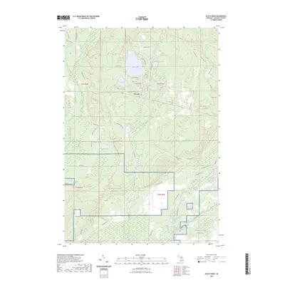
2023 Map of Black Creek
USGS Topo · Published 2023About this map
The Bear Lake settlement serves as a focal point for this section of Kalkaska County, where residential clusters like Hillcrest Blvd NE and Sunset Shores Dr NE line the water's edge. The landscape is defined by a dense network of glacial lakes and wetlands, including the string of Upper Black Lake, Middle Black Lake, and South Black Lake. To the south, the terrain shifts into large-scale institutional use with the extensive training grounds of NG MTC-H Camp Grayling. This area is ecologically significant, marked by the headwaters of Black Creek and the winding course of the North Branch Manistee River. The presence of the Kalkaska Trl and Shore To Shore Trl suggests a region heavily utilized for outdoor recreation and transit between the various water bodies and the low-lying Richardson Swamp.
Find a feature on this map
71 named features on this map. Tap any name to fly to it.
Don’t see what you’re looking for? This feature index may not catch every label — zoom into the map to look around manually.
Map Details
Editions of this 2023 Black Creek Map
This is the sole edition of this map. No revisions or reprints were ever made.
Other maps of this area

1949 · Black Creek
USGS Topo · 1:24,000

1949 · Fletcher
USGS Topo · 1:62,500

1950 · Cote Dame Marie
USGS Topo · 1:24,000

1950 · Fletcher
USGS Topo · 1:24,000

1950 · Lake Margrethe
USGS Topo · 1:24,000

1954 · Traverse City
USGS Topo · 1:250,000

1956 · Alba
USGS Topo · 1:62,500

1956 · Mancelona
USGS Topo · 1:62,500

1956 · Kalkaska
USGS Topo · 1:62,500

1958 · Traverse City
USGS Topo · 1:250,000
Featured Places
- Bear Lake Township, MI
- Oliver Township, MI
- Pemberthy Crossing, MI
- Excelsior Township, MI
- Kalkaska County, MI