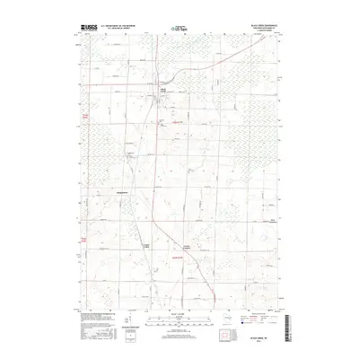
2016 Map of Black Creek
USGS Topo · Published 2016About this map
Black Creek serves as the primary hub in this portion of Outagamie County, situated at the junction of several key regional routes like Co RD B and W State ST. The landscape is defined by its agricultural grid and drainage system, with Black Cr and Duck Cr winding through the low-lying terrain. Significant for local historians, the area is dotted with small, crossroads communities such as Twelve Corners, Five Corners, and Binghamton. These settlements often grew around essential services or family farmsteads, and their enduring presence is marked by several burial grounds including Saint Petri Cem and Sassman Cem. The map illustrates the persistent 19th-century township and range system, with boundaries like t23n r17e clearly delineated. This 2016 survey reflects a landscape where rural heritage and modern infrastructure intersect, preserved through generations of family-named roads like Genske RD and Kringle RD.
Find a feature on this map
62 named features on this map. Tap any name to fly to it.
Don’t see what you’re looking for? This feature index may not catch every label — zoom into the map to look around manually.
Map Details
Editions of this 2016 Black Creek Map
This is the sole edition of this map. No revisions or reprints were ever made.
Other maps of this area

1955 · Embarrass
USGS Topo · 1:48,000

1955 · Appleton
USGS Topo · 1:24,000

1955 · Appleton
USGS Topo · 1:62,500

1955 · Seymour
USGS Topo · 1:62,500

1955 · Green Bay
USGS Topo · 1:250,000

1956 · New London
USGS Topo · 1:48,000

1969 · Leeman
USGS Topo · 1:24,000
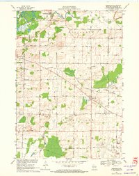
1969 · Greenville
USGS Topo · 1:24,000
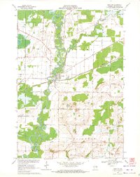
1969 · Shiocton
USGS Topo · 1:24,000

1974 · Seymour
USGS Topo · 1:24,000