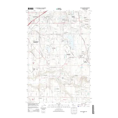
2014 Map of Black Diamond
USGS Topo · Published 2014About this map
Covington and Maple Valley anchor the northern reaches of this King County survey, showing a landscape defined by significant watershed protection and recreation. Extensive sections of the Kent Watershed sit alongside local retreats like Cherokee Bay Park and Lake Sawyer. The southern portion of the quadrangle is dominated by the town of Black Diamond, where the Black Diamond Cem and Morganville neighborhood reflect the community's local heritage. Industrial and transport corridors are clearly marked by the Burlington Northern Santa Fe Railroad and small aviation hubs like Crest Airpark. Crossing the Green River, the map identifies important crossing points such as Whitney Bridge and Kummer Bridge, illustrating the local infrastructure connecting these valley settlements.
Find a feature on this map
120 named features on this map. Tap any name to fly to it.
Don’t see what you’re looking for? This feature index may not catch every label — zoom into the map to look around manually.
Map Details
Editions of this 2014 Black Diamond Map
This is the sole edition of this map. No revisions or reprints were ever made.
Other maps of this area

1897 · Tacoma
USGS Topo · 1:125,000

1900 · Tacoma
USGS Topo · 1:125,000

1913 · Cedar Lake
USGS Topo · 1:125,000

1942 · Lake Tapps
USGS Topo · 1:62,500

1944 · Lake Tapps
USGS Topo · 1:62,500

1949 · Maple Valley
USGS Topo · 1:24,000

1949 · Black Diamond
USGS Topo · 1:24,000

1949 · Renton
USGS Topo · 1:24,000

1949 · Auburn
USGS Topo · 1:24,000

1953 · Hobart
USGS Topo · 1:24,000