
1953 Map of Hobart
USGS Topo · Published 1955About this map
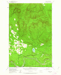
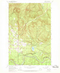
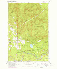
The City of Seattle Watershed dominates the southeastern quadrant of this map, reflecting the mid-century infrastructure required to support urban growth in King County. The settlement at Hobart sits at the junction of the Issaquah-Ravensdale Road and the Old Railroad Grade, supported locally by the Hobart Sch. Further south, the landscape is defined by the winding Cedar River and the operations at Landsburg, where the Seattle Water Supply Intake and Gaging Sta mark a critical point for the regional water supply system. Industrial activity is evident at the Tiger Mtn Mine and a local Shingle Mill, while the presence of the Chicago Milwaukee St Paul and Pacific railroad through Trude underscores the era's reliance on heavy rail for mountain logging and transit. The map also identifies the Taylor (Site), indicating a vanished community within the restricted watershed area.
Find a feature on this map
77 named features on this map. Tap any name to fly to it.
Don’t see what you’re looking for? This feature index may not catch every label — zoom into the map to look around manually.
Map Details
Editions of this 1953 Hobart Map
4 editions found
Other maps of this area

1895 · Snohomish
USGS Topo · 1:125,000

1897 · Tacoma
USGS Topo · 1:125,000

1897 · Seattle
USGS Topo · 1:125,000

1900 · Tacoma
USGS Topo · 1:125,000

1913 · Cedar Lake
USGS Topo · 1:125,000

1921 · Sultan
USGS Topo · 1:125,000

1923 · Sultan
USGS Topo · 1:125,000

1949 · Maple Valley
USGS Topo · 1:24,000

1949 · Black Diamond
USGS Topo · 1:24,000

1950 · Issaquah
USGS Topo · 1:24,000