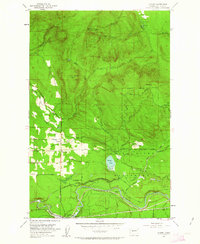
1953 Map of Hobart
USGS Topo · Published 1963About this map
The Hobart community serves as the central settlement on this 1953 survey, situated where the Issaquah-Ravensdale Road meets local routes like Mc Kibbon Road. The landscape is dominated by the industrial and hydrological needs of the region, featuring the Chicago Milwaukee St Paul and Pacific railroad winding through the southern half. The presence of the Seattle Water Supply Intake and the extensive Watershed Boundary (City of Seattle) highlights the area's critical role in regional infrastructure.
Find a feature on this map
39 named features on this map. Tap any name to fly to it.
Don’t see what you’re looking for? This feature index may not catch every label — zoom into the map to look around manually.
Map Details
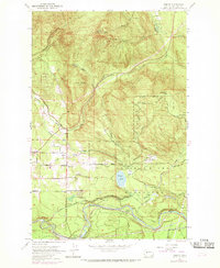
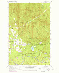
Editions of this 1953 Hobart Map
4 editions found

Other maps of this area

1895 · Snohomish
USGS Topo · 1:125,000

1897 · Tacoma
USGS Topo · 1:125,000

1897 · Seattle
USGS Topo · 1:125,000

1900 · Tacoma
USGS Topo · 1:125,000

1913 · Cedar Lake
USGS Topo · 1:125,000

1921 · Sultan
USGS Topo · 1:125,000

1923 · Sultan
USGS Topo · 1:125,000

1949 · Maple Valley
USGS Topo · 1:24,000

1949 · Black Diamond
USGS Topo · 1:24,000

1950 · Issaquah
USGS Topo · 1:24,000