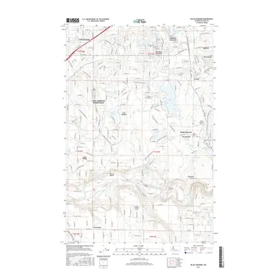
2017 Map of Black Diamond
USGS Topo · Published 2017About this map
The Green River carves a deep valley through the southern portion of this landscape, creating a distinct boundary for settlements like Newaukum and Kummer. This area of King County reflects a complex history of resource extraction and suburban development, visible in the cluster of mining labels near Ravensdale such as Anaconda and Viper. In the central corridor, the town of Black Diamond serves as a focal point, flanked by the residential pockets of Morganville and the Black Diamond Cemetery.
Find a feature on this map
65 named features on this map. Tap any name to fly to it.
Don’t see what you’re looking for? This feature index may not catch every label — zoom into the map to look around manually.
Map Details
Editions of this 2017 Black Diamond Map
This is the sole edition of this map. No revisions or reprints were ever made.
Other maps of this area

1897 · Tacoma
USGS Topo · 1:125,000

1900 · Tacoma
USGS Topo · 1:125,000

1913 · Cedar Lake
USGS Topo · 1:125,000

1942 · Lake Tapps
USGS Topo · 1:62,500

1944 · Lake Tapps
USGS Topo · 1:62,500

1949 · Maple Valley
USGS Topo · 1:24,000

1949 · Black Diamond
USGS Topo · 1:24,000

1949 · Renton
USGS Topo · 1:24,000

1949 · Auburn
USGS Topo · 1:24,000

1953 · Hobart
USGS Topo · 1:24,000