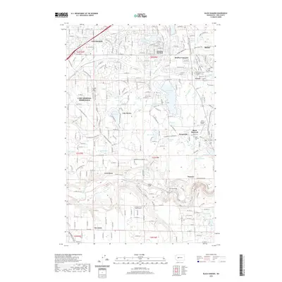
2020 Map of Black Diamond
USGS Topo · Published 2020About this map
Covington and Maple Valley anchor the northern reaches of this King County landscape, where suburban growth meets the complex hydrology of the Puget Sound lowlands. The area is defined by a dense network of glacial lakes including Lake Sawyer, Lake Morton, and Pipe Lake. The Green River carves a deep path through the southern half of the map, crossed by the Whitney Bridge and Kummer Bridge near the settlement of Kummer.
Find a feature on this map
124 named features on this map. Tap any name to fly to it.
Don’t see what you’re looking for? This feature index may not catch every label — zoom into the map to look around manually.
Map Details
Editions of this 2020 Black Diamond Map
This is the sole edition of this map. No revisions or reprints were ever made.
Other maps of this area

1897 · Tacoma
USGS Topo · 1:125,000

1900 · Tacoma
USGS Topo · 1:125,000

1913 · Cedar Lake
USGS Topo · 1:125,000

1942 · Lake Tapps
USGS Topo · 1:62,500

1944 · Lake Tapps
USGS Topo · 1:62,500

1949 · Maple Valley
USGS Topo · 1:24,000

1949 · Black Diamond
USGS Topo · 1:24,000

1949 · Renton
USGS Topo · 1:24,000

1949 · Auburn
USGS Topo · 1:24,000

1953 · Hobart
USGS Topo · 1:24,000