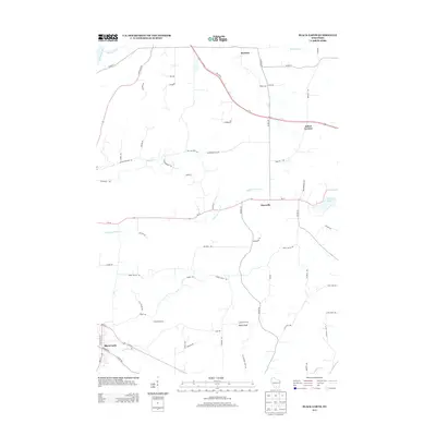
2013 Map of Black Earth
USGS Topo · Published 2013About this map
Black Earth sits at the southwestern edge of this landscape, where Black Earth Cr winds through the valley. The terrain is defined by prominent elevations such as Table Bluff, which overlooks a network of rural routes connecting small unincorporated communities. To the north, Roxbury and Aldens Corners anchor the farming districts, while Marxville serves as a central point along Wi-19. The map reveals a high density of family-named roads, including Taylor Rd, Herbrand Rd, and Roelke Rd, reflecting generations of land ownership in Dane County.
Find a feature on this map
64 named features on this map. Tap any name to fly to it.
Don’t see what you’re looking for? This feature index may not catch every label — zoom into the map to look around manually.
Map Details
Editions of this 2013 Black Earth Map
This is the sole edition of this map. No revisions or reprints were ever made.
Other maps of this area

1895 · Baraboo
USGS Topo · 1:62,500

1901 · Denzer
USGS Topo · 1:62,500

1907 · Cross Plains
USGS Topo · 1:62,500

1908 · Baraboo
USGS Topo · 1:62,500

1909 · Cross Plains
USGS Topo · 1:62,500

1920 · Blue Mounds
USGS Topo · 1:62,500

1922 · Blue Mounds
USGS Topo · 1:62,500

1957 · Madison
USGS Topo · 1:250,000

1958 · North Freedom
USGS Topo · 1:62,500

1959 · Baraboo
USGS Topo · 1:62,500