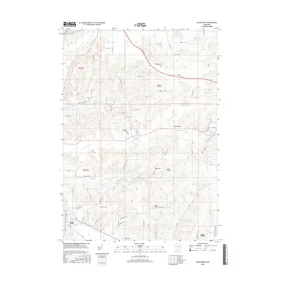
2016 Map of Black Earth
USGS Topo · Published 2016About this map
Black Earth and Cross Plains anchor this landscape of the Wisconsin Driftless Area, where narrow valleys and steep ridges dictate the placement of roads and farms. The terrain is defined by prominent features like Table Bluff and Dunlap Hollow, with the Wisconsin River appearing in the northwest corner. Waterways such as Black Earth Cr and Halfway Prairie Cr follow the low ground, while the Ice Age National Scenic Trail winds across the eastern ridges near Indian Lake. Local history is preserved in several rural burial sites, including Oak Hill Cem near the village of Black Earth and Sunning Hill Cem located in the central hills. The small settlement of Marxville sits at a junction in the northeast, illustrating the historically dispersed nature of agricultural communities in Dane County before modern suburban expansion.
Find a feature on this map
112 named features on this map. Tap any name to fly to it.
Don’t see what you’re looking for? This feature index may not catch every label — zoom into the map to look around manually.
Map Details
Editions of this 2016 Black Earth Map
This is the sole edition of this map. No revisions or reprints were ever made.
Other maps of this area

1895 · Baraboo
USGS Topo · 1:62,500

1901 · Denzer
USGS Topo · 1:62,500

1907 · Cross Plains
USGS Topo · 1:62,500

1908 · Baraboo
USGS Topo · 1:62,500

1909 · Cross Plains
USGS Topo · 1:62,500

1920 · Blue Mounds
USGS Topo · 1:62,500

1922 · Blue Mounds
USGS Topo · 1:62,500

1957 · Madison
USGS Topo · 1:250,000

1958 · North Freedom
USGS Topo · 1:62,500

1959 · Baraboo
USGS Topo · 1:62,500