2022 Map of Black Earth
USGS Topo · Published 2022About this map
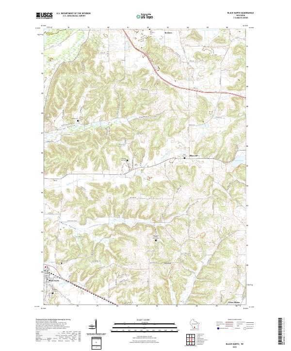
Black Earth and Cross Plains anchor the southwestern and southeastern corners of this central Wisconsin landscape, where the driftless-style topography is defined by the prominent Table Bluff and the low expanse of Marsh Valley. The drainage of Black Earth Cr and Halfway Prairie Cr carves through the undulating hills, punctuated by numerous small family and community burial grounds such as Sunning Hill Cem and the Old Black Earth Cem. Northward, the crossroads at Marxville and the village of Roxbury mark early settlement nodes along a network of county roads and named family routes like Taylor Rd and Breunig Rd. Modern conservation and recreation are visible via the Ice Age National Scenic Trl, which winds near Table Bluff, connecting the contemporary landscape to its deep glacial history while preserving the rural character of these upland ridges and sheltered hollows.
Find a feature on this map
81 named features on this map. Tap any name to fly to it.
Don’t see what you’re looking for? This feature index may not catch every label — zoom into the map to look around manually.
Map Details
Editions of this 2022 Black Earth Map
This is the sole edition of this map. No revisions or reprints were ever made.