Loading...
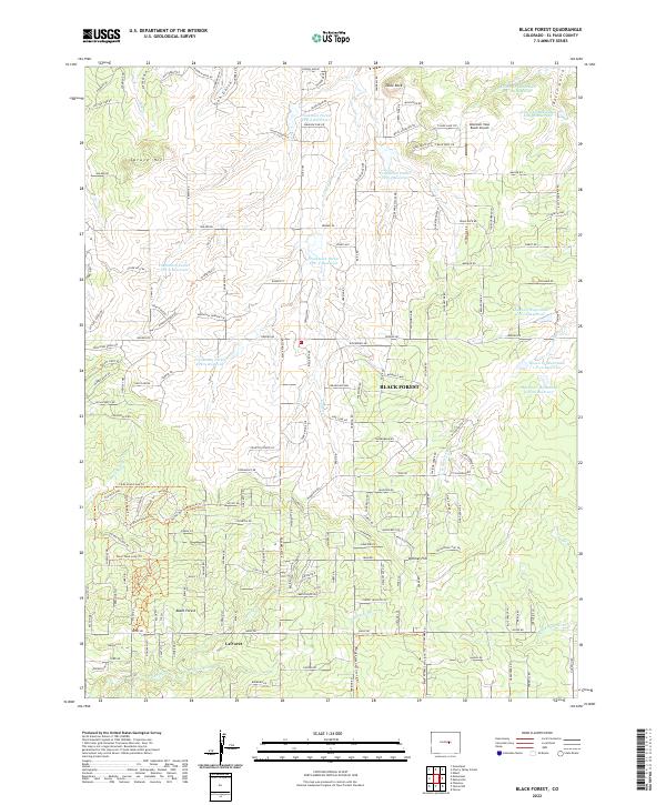
Loading map...2022 Map of Black Forest
USGS Topo · Published 2022About this map
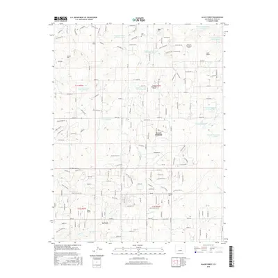
Black Forest and the neighboring settlement of La Foret anchor this high-altitude landscape on the Palmer Divide. The terrain is defined by a series of north-south ridges and drainages, including the headwaters of the Burgess River, Kettle Cr, and Black Squirrel Cr. Significant landmarks such as Spruce Hill and the prominent Table Rock rise above the residential subdivisions and ranch roads that characterize this transition between the mountains and the plains.
Find a feature on this map
170 named features on this map. Tap any name to fly to it.
Don’t see what you’re looking for? This feature index may not catch every label — zoom into the map to look around manually.
Map Details
Date Portrayed2022
Date Published2022
PublisherU.S. Geological Survey
Map TypeTopographic
Scale1:24,000
Physical Dimensions24 x 29 inches
Editions of this 2022 Black Forest Map
This is the sole edition of this map. No revisions or reprints were ever made.
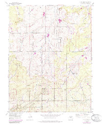
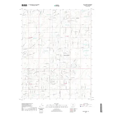
Historical Maps of Black Forest Through Time
6 maps found
Featured Locations
Source Details
SourceU.S. Geological Survey
CopyrightPublic Domain