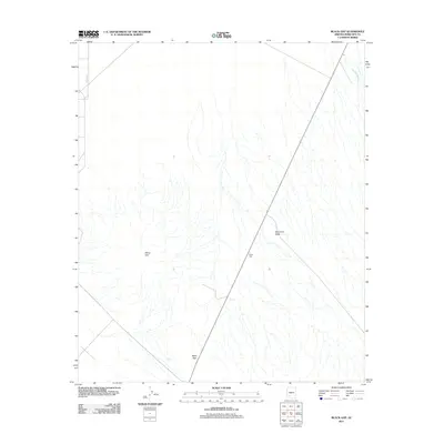
2011 Map of Black Gap
USGS Topo · Published 2011About this map
The arid expanse of southwestern Maricopa County is defined here by the drainage of Sauceda Wash as it moves through a landscape of distinct geological formations. The White Hills dominate the central-west portion of the quadrangle, while Blindman Butte stands as a prominent landmark to the east. Transportation through this desert terrain is centered on Route 85, which cuts diagonally across the area, passing through the pass known as Black Gap. This pass serves as a natural corridor between higher elevations, historically dictating the movement of travelers and surveyors in the region. Local access is further marked by the presence of Potatoe Rd on the western edge, reflecting the sparse network of secondary roads that serve this primarily unpopulated desert reach.
Find a feature on this map
6 named features on this map. Tap any name to fly to it.
Don’t see what you’re looking for? This feature index may not catch every label — zoom into the map to look around manually.
Map Details
Editions of this 2011 Black Gap Map
This is the sole edition of this map. No revisions or reprints were ever made.
Other maps of this area

1950 · Theba
USGS Topo · 1:62,500

1951 · Gila Bend
USGS Topo · 1:62,500

1951 · Theba
USGS Topo · 1:62,500

1953 · Ajo
USGS Topo · 1:250,000

1957 · Ajo
USGS Topo · 1:250,000

1958 · Ajo
USGS Topo · 1:250,000

1958 · Midway
USGS Topo · 1:62,500

1958 · Hat Mountain
USGS Topo · 1:62,500

1962 · Ajo
USGS Topo · 1:250,000

1963 · Ajo
USGS Topo · 1:250,000