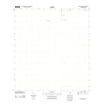
2012 Map of Black Hammock
USGS Topo · Published 2012About this map
Black Hammock and Grossman Ridge characterize this specific landscape in Miami-Dade County, Florida. This 2012 USGS study documents an area where the grid of metropolitan Miami begins to interact with the distinct natural elevations of the Everglades. The map shows the westernmost extent of the urban street system, including SW 152nd St and SW 160th St, as they reach toward the natural hammocks and ridges. This map is a precise record of the boundary between suburban expansion and the preserved wetlands of South Florida, capturing the exact terminal points of roads like SW 297th Ave.
Find a feature on this map
6 named features on this map. Tap any name to fly to it.
Don’t see what you’re looking for? This feature index may not catch every label — zoom into the map to look around manually.
Map Details
Editions of this 2012 Black Hammock Map
This is the sole edition of this map. No revisions or reprints were ever made.
Other maps of this area

1956 · Grossman Hammock
USGS Topo · 1:24,000

1956 · Royal Palm Ranger Station
USGS Topo · 1:24,000

1956 · Miami
USGS Topo · 1:250,000

1958 · Miami
USGS Topo · 1:250,000

1972 · Shark Valley Lookout Tower
USGS Topo · 1:24,000

1972 · Chekika Island
USGS Topo · 1:24,000

1972 · Long Pine Key
USGS Topo · 1:24,000

1972 · Panther Mound
USGS Topo · 1:24,000

1972 · Pa Hay Okee Lookout Tower
USGS Topo · 1:24,000

1972 · South Of Coopertown
USGS Topo · 1:24,000