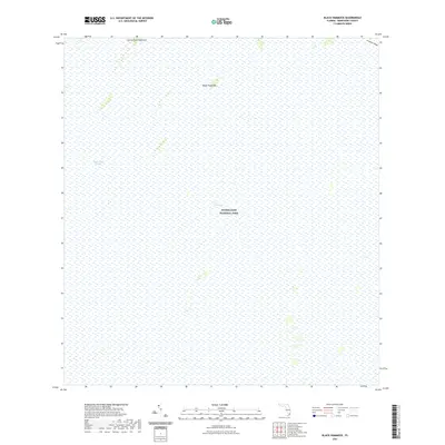
2021 Map of Black Hammock
USGS Topo · Published 2021About this map
Everglades National Park dominates this modern study of the south Florida interior, revealing a landscape defined by seasonal water flow and subtle elevations. The Shark River Slough moves through the center of the sheet, serving as the primary freshwater artery for the region. Amidst the expansive wetlands of The Everglades, small tree islands or hammocks rise above the marsh, including the eponymous Black Hammock and Johnny Buck Hammock. These features are critical markers for understanding the historical hydrology and navigation of the area before modern drainage projects altered much of the surrounding territory. Along the eastern edge, the slight rise of Grossman Ridge provides a geological boundary to the deeper slough waters, illustrating the delicate balance of the subtropical ecosystem.
Find a feature on this map
6 named features on this map. Tap any name to fly to it.
Don’t see what you’re looking for? This feature index may not catch every label — zoom into the map to look around manually.
Map Details
Editions of this 2021 Black Hammock Map
This is the sole edition of this map. No revisions or reprints were ever made.
Other maps of this area

1956 · Grossman Hammock
USGS Topo · 1:24,000

1956 · Royal Palm Ranger Station
USGS Topo · 1:24,000

1956 · Miami
USGS Topo · 1:250,000

1958 · Miami
USGS Topo · 1:250,000

1972 · Shark Valley Lookout Tower
USGS Topo · 1:24,000

1972 · Chekika Island
USGS Topo · 1:24,000

1972 · Long Pine Key
USGS Topo · 1:24,000

1972 · Panther Mound
USGS Topo · 1:24,000

1972 · Pa Hay Okee Lookout Tower
USGS Topo · 1:24,000

1972 · South Of Coopertown
USGS Topo · 1:24,000