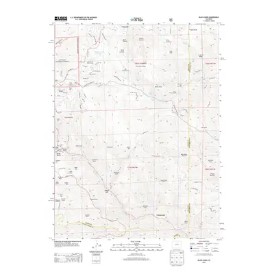
2013 Map of Black Hawk
USGS Topo · Published 2013About this map
Black Hawk and the surrounding high-altitude terrain define this 2013 survey, showing a landscape shaped by historical mining and modern recreation. The transition from the steep drainages of Gregory Gulch and Chase Gulch to the peaks of Black Hawk Mountain and Tremont Mountain reflects the area's gold-rush heritage. While the town center remains a focal point, the map detail extends to the northern residential clusters around Dory Lake and Braecher Ranch Reservoir, alongside the small Athanasiou Valley Airport.
Find a feature on this map
149 named features on this map. Tap any name to fly to it.
Don’t see what you’re looking for? This feature index may not catch every label — zoom into the map to look around manually.
Map Details
Editions of this 2013 Black Hawk Map
This is the sole edition of this map. No revisions or reprints were ever made.
Other maps of this area

1899 · West Denver
USGS Topo · 1:125,000

1903 · Georgetown
USGS Topo · 1:62,500

1905 · Central City
USGS Topo · 1:62,500

1905 · Georgetown
USGS Topo · 1:62,500

1906 · Blackhawk
USGS Topo · 1:62,500

1910 · Central City
USGS Topo · 1:62,500

1912 · Central City
USGS Topo · 1:62,500

1942 · Eldorado Springs
USGS Topo · 1:24,000

1942 · Nederland
USGS Topo · 1:24,000

1942 · Central City
USGS Topo · 1:24,000