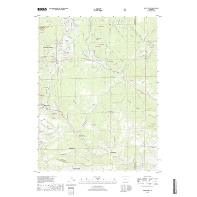
2019 Map of Black Hawk
USGS Topo · Published 2019About this map
Central City and Black Hawk anchor this high-altitude landscape, illustrating the enduring footprint of Colorado's historic mining district. The map captures the dense network of gulches and ridges that shaped early development, including Gregory Gulch and Chase Gulch, where gold was first discovered in the region. To the north, the small settlement of Dory Hill is home to the Gilpin County Courthouse and the Dory Hill Cem, while Idaho Springs sits along the southern edge near Clear Creek.
Find a feature on this map
134 named features on this map. Tap any name to fly to it.
Don’t see what you’re looking for? This feature index may not catch every label — zoom into the map to look around manually.
Map Details
Editions of this 2019 Black Hawk Map
This is the sole edition of this map. No revisions or reprints were ever made.
Other maps of this area

1899 · West Denver
USGS Topo · 1:125,000

1903 · Georgetown
USGS Topo · 1:62,500

1905 · Central City
USGS Topo · 1:62,500

1905 · Georgetown
USGS Topo · 1:62,500

1906 · Blackhawk
USGS Topo · 1:62,500

1910 · Central City
USGS Topo · 1:62,500

1912 · Central City
USGS Topo · 1:62,500

1942 · Eldorado Springs
USGS Topo · 1:24,000

1942 · Nederland
USGS Topo · 1:24,000

1942 · Central City
USGS Topo · 1:24,000