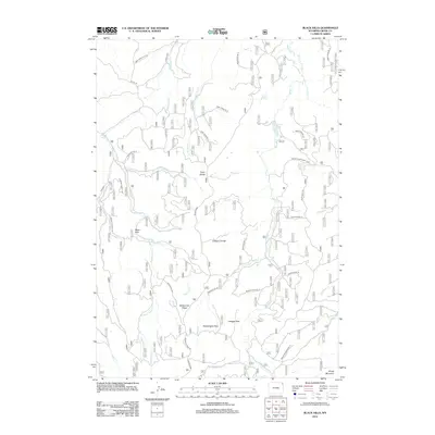
2012 Map of Black Hills
USGS Topo · Published 2012About this map
Cook Lake sits at the heart of this high-elevation landscape within the Black Hills, where the drainage patterns of Beaver Cr and Lame Jones Cr define the rugged topography. The area is characterized by prominent ridgelines and water sources, including the Taylor Divide and Ellsbury Divide, which separate the various creek branches. Numerous springs, such as Scott Spring, Selliez Spring, and Togus Spring, indicate the vital water sources that have supported local land use and grazing in this portion of Crook County.
Find a feature on this map
47 named features on this map. Tap any name to fly to it.
Don’t see what you’re looking for? This feature index may not catch every label — zoom into the map to look around manually.
Map Details
Editions of this 2012 Black Hills Map
This is the sole edition of this map. No revisions or reprints were ever made.
Other maps of this area

1898 · Sundance
USGS Topo · 1:125,000

1901 · Aladdin
USGS Topo · 1:125,000

1902 · Sundance
USGS Topo · 1:125,000

1903 · Aladdin
USGS Topo · 1:125,000

1905 · Devils Tower
USGS Topo · 1:125,000

1918 · Moorcroft
USGS Topo · 1:125,000

1954 · Gillette
USGS Topo · 1:250,000

1955 · Devils Tower
USGS Topo · 1:62,500

1955 · Gillette
USGS Topo · 1:250,000

1957 · Nefsy Divide
USGS Topo · 1:62,500