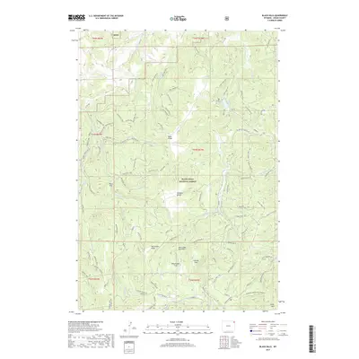
2017 Map of Black Hills
USGS Topo · Published 2017About this map
The Bear Lodge Mountains form the centerpiece of this terrain in the northern Black Hills National Forest. This 2017 survey details a landscape defined by significant ridges and water sources, such as the Taylor Divide and Ellsbury Divide. The presence of several named springs, including Scott Spring, Selliez Spring, and Togus Spring, suggests the importance of reliable water in this upland environment. Low-lying areas like Massengale Flats and Ledogar Flats are interspersed among the high points of Deckelman Ridge and Sheep Mtn. A complex network of forest roads and trails, such as Bear Lodge Rd and the various branches of the Hershey and Blacktail road systems, provide access through the dense topography and toward Cook Lake.
Find a feature on this map
130 named features on this map. Tap any name to fly to it.
Don’t see what you’re looking for? This feature index may not catch every label — zoom into the map to look around manually.
Map Details
Editions of this 2017 Black Hills Map
This is the sole edition of this map. No revisions or reprints were ever made.
Other maps of this area

1898 · Sundance
USGS Topo · 1:125,000

1901 · Aladdin
USGS Topo · 1:125,000

1902 · Sundance
USGS Topo · 1:125,000

1903 · Aladdin
USGS Topo · 1:125,000

1905 · Devils Tower
USGS Topo · 1:125,000

1918 · Moorcroft
USGS Topo · 1:125,000

1954 · Gillette
USGS Topo · 1:250,000

1955 · Devils Tower
USGS Topo · 1:62,500

1955 · Gillette
USGS Topo · 1:250,000

1957 · Nefsy Divide
USGS Topo · 1:62,500