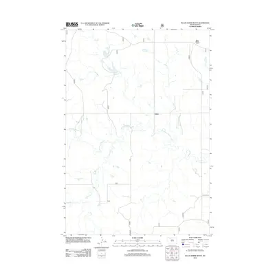
2012 Map of Black Horse Butte
USGS Topo · Published 2012About this map
Athboy stands as a primary point of reference in this landscape of northern South Dakota, where the drainage patterns of the Missouri Plateau are clearly defined. The terrain is characterized by the winding courses of First Cr, Second Cr, and Third Cr, which drain northward toward larger tributaries. Dominating the upper elevations, the landmark of Black Horse Butte provides a significant geographical anchor for the region. The map highlights a network of watercourses including Black Horse Butte Cr and Darling Cr, illustrating the vital role of riparian corridors in this prairie environment. Transportation is marked by local arteries like Twin Butte Rd, reflecting the rural infrastructure that connects these isolated settlements and topographical features within the Rock Creek District.
Find a feature on this map
8 named features on this map. Tap any name to fly to it.
Don’t see what you’re looking for? This feature index may not catch every label — zoom into the map to look around manually.
Map Details
Editions of this 2012 Black Horse Butte Map
This is the sole edition of this map. No revisions or reprints were ever made.
Other maps of this area

1953 · McIntosh
USGS Topo · 1:250,000

1954 · Lemmon
USGS Topo · 1:250,000

1957 · Lemmon
USGS Topo · 1:250,000

1958 · McIntosh
USGS Topo · 1:250,000

1972 · Black Horse Butte NW
USGS Topo · 1:24,000

1972 · Black Horse Butte
USGS Topo · 1:24,000

1972 · Twin Butte
USGS Topo · 1:24,000

1972 · Black Horse Butte NE
USGS Topo · 1:24,000

1980 · McIntosh
USGS Topo · 1:100,000

1982 · Glad Valley
USGS Topo · 1:24,000