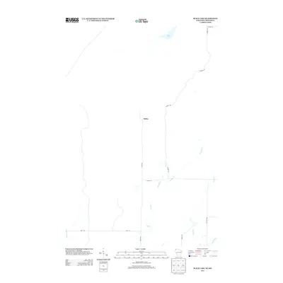
2013 Map of Black Lake
USGS Topo · Published 2013About this map
Belden sits at the center of this 2013 survey of Douglas County, Wisconsin, and Pine County, Minnesota. The landscape is defined by its water systems, notably Black Lake in the north and the meandering Spruce River in the southeast. A network of rural routes and trails, including the extensive Summit Trl and its southern and eastern branches, provides access to the dense woodlands along the state line. This map reveals the drainage patterns formed by Hay Cr and its tributaries, E Br Hay Cr and W Br Hay Cr, which shape the low-lying terrain. The isolation of the area is evident in the sparse road network, primarily consisting of local links like Belden Rd, E Moose Rd, and Rash Rd, which serve a region where natural features far outweigh human infrastructure.
Find a feature on this map
16 named features on this map. Tap any name to fly to it.
Don’t see what you’re looking for? This feature index may not catch every label — zoom into the map to look around manually.
Map Details
Editions of this 2013 Black Lake Map
This is the sole edition of this map. No revisions or reprints were ever made.
Other maps of this area

1949 · Danbury
USGS Topo · 1:48,000

1949 · Holyoke
USGS Topo · 1:48,000

1949 · Webb Lake
USGS Topo · 1:48,000

1949 · Patzau
USGS Topo · 1:48,000

1953 · Duluth
USGS Topo · 1:250,000

1954 · Foxboro
USGS Topo · 1:24,000
1954 · Patzau
USGS Topo · 1:24,000

1955 · Webb Lake
USGS Topo · 1:62,500

1955 · Patzau
USGS Topo · 1:62,500

1958 · Duluth
USGS Topo · 1:250,000