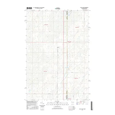
2015 Map of Black Lake
USGS Topo · Published 2015About this map
Belden stands as a focal point in this remote corner of the borderlands, situated where the Gandy Dancer Trl and Belden Rd meet near the divide between Pine and Douglas Counties. The landscape is defined by its extensive wetlands and water systems, notably Black Lake and Stateline Flowage 3, which straddle the Minnesota-Wisconsin border. A complex network of drainage is visible, including the W Br Hay Cr and E Br Hay Cr feeding into Hay Cr, alongside the southward flow of the Spruce River. This survey illustrates the modern transition of historic railroad corridors into recreational routes, while the naming of roads like Swedish Hwy and Perkins Rd provides a topographic trace of the families and immigrant communities that settled these northern woods.
Find a feature on this map
24 named features on this map. Tap any name to fly to it.
Don’t see what you’re looking for? This feature index may not catch every label — zoom into the map to look around manually.
Map Details
Editions of this 2015 Black Lake Map
This is the sole edition of this map. No revisions or reprints were ever made.
Other maps of this area

1949 · Danbury
USGS Topo · 1:48,000

1949 · Holyoke
USGS Topo · 1:48,000

1949 · Webb Lake
USGS Topo · 1:48,000

1949 · Patzau
USGS Topo · 1:48,000

1953 · Duluth
USGS Topo · 1:250,000

1954 · Foxboro
USGS Topo · 1:24,000
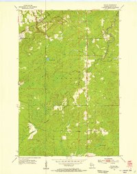
1954 · Patzau
USGS Topo · 1:24,000

1955 · Webb Lake
USGS Topo · 1:62,500

1955 · Patzau
USGS Topo · 1:62,500

1958 · Duluth
USGS Topo · 1:250,000