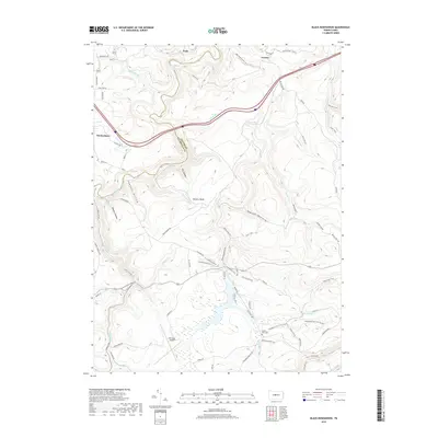
2019 Map of Black Moshannon
USGS Topo · Published 2019About this map
Moshannon Creek and its many tributaries, such as Black Moshannon Cr and Sixmile Run, define this high-plateau landscape along the border of Centre and Clearfield counties. The area is characterized by a dense network of forest trails and hollows, including Sawdust Hollow and Panther Hollow, which reflect a history of timber and resource extraction. Evidence of earlier settlement and industry can be found near Peale and Gorton, where the Beaver Mills Cem stands as a quiet reminder of former communities. The southern portion of the map is dominated by the Mid-State Airport and expansive recreational corridors like the Allegheny Front Trail (South) and the Snowmobile Trail. This terrain, marked by features like Hunters Rocks and Arctic Springs, showcases a region evolved from industrial utility into a hub for aviation and back-country outdoor activity.
Find a feature on this map
75 named features on this map. Tap any name to fly to it.
Don’t see what you’re looking for? This feature index may not catch every label — zoom into the map to look around manually.
Map Details
Editions of this 2019 Black Moshannon Map
This is the sole edition of this map. No revisions or reprints were ever made.
Other maps of this area

1908 · Bellefonte
USGS Topo · 1:62,500

1909 · Bellefonte
USGS Topo · 1:62,500

1922 · Philipsburg
USGS Topo · 1:62,500

1928 · Snow Shoe
USGS Topo · 1:48,000

1929 · Karthaus
USGS Topo · 1:62,500

1931 · Show Shoe
USGS Topo · 1:62,500

1932 · Karthaus
USGS Topo · 1:62,500

1939 · Philipsburg
USGS Topo · 1:62,500

1943 · Lewistown
USGS Topo · 1:125,000

1945 · Philipsburg
USGS Topo · 1:62,500