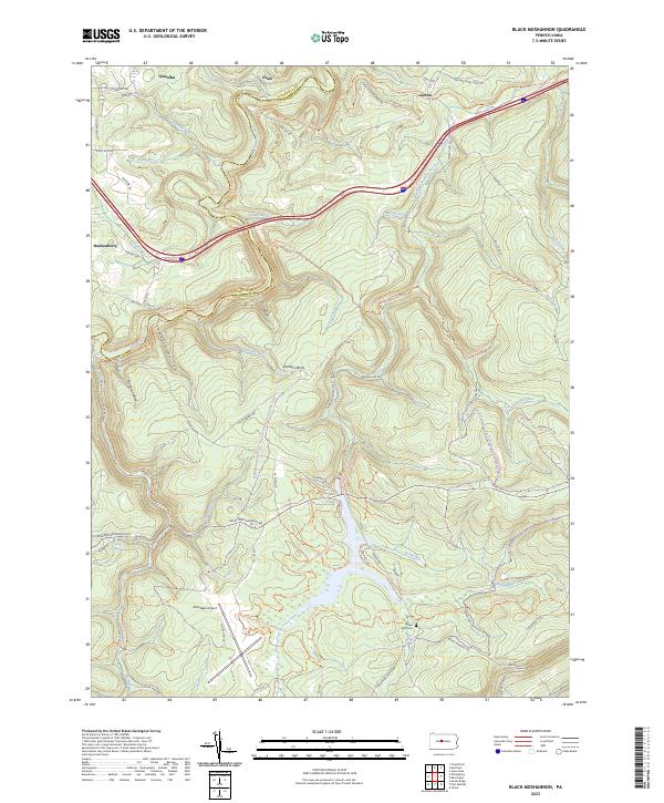
2023 Map of Black Moshannon
USGS Topo · Published 2023About this map
Moshannon Creek and its many tributaries, including Black Moshannon Creek, carve through the high terrain of the Allegheny Front in this part of Centre County. The landscape is defined by its industrial and transit history, with the New York Central Trl and various tram roads marking former rail corridors through the timber and coal lands. Small settlements like Grassflat, Peale, and Gorton sit on the periphery of the deep hollows, such as Sawdust Hollow and Panther Hollow, which speak to the area's logging past.
Find a feature on this map
68 named features on this map. Tap any name to fly to it.
Don’t see what you’re looking for? This feature index may not catch every label — zoom into the map to look around manually.
Map Details
Editions of this 2023 Black Moshannon Map
This is the sole edition of this map. No revisions or reprints were ever made.
Other maps of this area

1908 · Bellefonte
USGS Topo · 1:62,500

1909 · Bellefonte
USGS Topo · 1:62,500

1922 · Philipsburg
USGS Topo · 1:62,500

1928 · Snow Shoe
USGS Topo · 1:48,000

1929 · Karthaus
USGS Topo · 1:62,500

1931 · Show Shoe
USGS Topo · 1:62,500

1932 · Karthaus
USGS Topo · 1:62,500

1939 · Philipsburg
USGS Topo · 1:62,500

1943 · Lewistown
USGS Topo · 1:125,000

1945 · Philipsburg
USGS Topo · 1:62,500