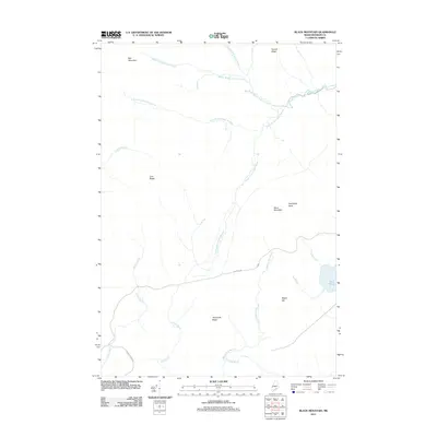
2011 Map of Black Mountain
USGS Topo · Published 2011About this map
Tim Pond sits at the eastern edge of this 2011 survey, serving as the primary drainage point for a complex network of waterways including Hack Inlet and Alder Inlet. The landscape is dominated by significant topographical formations such as Boil Mountain and Black Mountain, which define the watershed for the various branches of Alder Stream. The branching hydrography of the Middle Branch, North Branch, and South Branch illustrates a terrain deeply carved by runoff from heights like Toenail Ridge and Elephants Head. Human presence is minimal, represented largely by primitive transit routes such as Tim Pond Rd and Mason Camps Rd, suggesting an area primarily used for timber management or seasonal backcountry access. This survey captures the remote character of Franklin County, where features like Threemile Ridge and Cow Ridge separate the many tributaries feeding into the larger stream systems.
Find a feature on this map
23 named features on this map. Tap any name to fly to it.
Don’t see what you’re looking for? This feature index may not catch every label — zoom into the map to look around manually.
Map Details
Editions of this 2011 Black Mountain Map
This is the sole edition of this map. No revisions or reprints were ever made.
Other maps of this area

1928 · Chain Lakes
USGS Topo · 1:48,000

1931 · Cupsuptic
USGS Topo · 1:48,000

1932 · Kennebago Lake
USGS Topo · 1:48,000

1932 · Arnold Pond
USGS Topo · 1:48,000

1932 · Chain Lakes
USGS Topo · 1:62,500

1934 · Cupsuptic
USGS Topo · 1:62,500

1935 · Kennebago Lake
USGS Topo · 1:62,500

1935 · Chain Lakes
USGS Topo · 1:62,500

1935 · Cupsuptic
USGS Topo · 1:62,500

1935 · Arnold Pond
USGS Topo · 1:62,500
Featured Places
- Alder Stream Township, ME
- Seven Ponds Township, ME
- Stetsontown Township, ME
- Tim Pond Township, ME
- Franklin County, ME