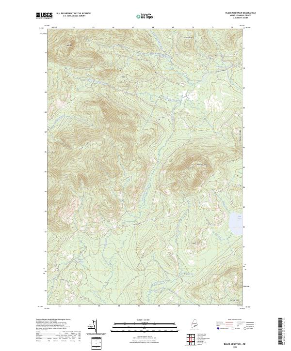
2024 Map of Black Mountain
USGS Topo · Published 2024About this map
Tim Pond sits at the eastern edge of this Maine wilderness, serving as a primary water body in a landscape defined by an intricate network of drainage and ridgelines. The area is characterized by the convergence of several waterways, including the numerous forks of Alder Stream and the winding Big Sag Brook. These streams navigate between prominent topographic features such as Toenail Ridge, Cow Ridge, and the notable summit of Black Mtn.
Find a feature on this map
26 named features on this map. Tap any name to fly to it.
Don’t see what you’re looking for? This feature index may not catch every label — zoom into the map to look around manually.
Map Details
Editions of this 2024 Black Mountain Map
This is the sole edition of this map. No revisions or reprints were ever made.
Other maps of this area
1928 · Chain Lakes
USGS Topo · 1:48,000
1931 · Cupsuptic
USGS Topo · 1:48,000
1932 · Kennebago Lake
USGS Topo · 1:48,000
1932 · Arnold Pond
USGS Topo · 1:48,000
1932 · Chain Lakes
USGS Topo · 1:62,500
1934 · Cupsuptic
USGS Topo · 1:62,500
1935 · Kennebago Lake
USGS Topo · 1:62,500
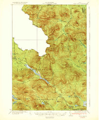
1935 · Chain Lakes
USGS Topo · 1:62,500
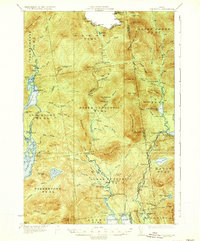
1935 · Cupsuptic
USGS Topo · 1:62,500
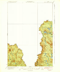
1935 · Arnold Pond
USGS Topo · 1:62,500
Featured Places
- Alder Stream Township, ME
- Stetsontown Township, ME
- Tim Pond Township, ME
- Seven Ponds Township, ME
- Franklin County, ME