
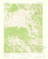
1959 Map of Black Mountain
USGS Topo · Published 1961About this map
High-altitude ranching and mineral exploration define this mid-century survey of the rugged border between Park and Fremont Counties. The landscape is dominated by massive volcanic features, most notably Waugh Mountain and Black Mountain, interspersed with a network of cattle operations including the Stirrup Ranch and M-Ranch. The presence of small, isolated schoolhouses like the Tallahassee Sch and Taylor Sch underscores the remote nature of the community during this era.
Find a feature on this map
69 named features on this map. Tap any name to fly to it.
Don’t see what you’re looking for? This feature index may not catch every label — zoom into the map to look around manually.
Map Details
Editions of this 1959 Black Mountain Map
3 editions found
Other maps of this area

1889 · Canon City
USGS Topo · 1:125,000

1892 · Canon City
USGS Topo · 1:125,000

1894 · Pikes Peak
USGS Topo · 1:125,000

1901 · Pikes Peak
USGS Topo · 1:125,000

1942 · Cover Mtn.
USGS Topo · 1:62,500

1948 · Cover Mtn.
USGS Topo · 1:62,500

1954 · Pueblo
USGS Topo · 1:250,000

1956 · Cameron Mountain
USGS Topo · 1:62,500

1957 · Pueblo
USGS Topo · 1:250,000

1958 · Pueblo
USGS Topo · 1:250,000