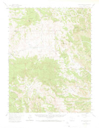
1959 Map of Black Mountain
USGS Topo · Published 1973About this map
Waugh Mountain dominates this mid-century landscape where the Park and Fremont County line meets the rugged peaks of central Colorado. The map documents a working landscape of high-altitude ranching, characterized by family-named properties like the V V N Ranch, H Taylor Ranch, and Russell Ranch scattered among the gulches and peaks. A lone educational landmark, the Tallahassee School, sits in the southeast, serving the isolated ranching community. The drainage patterns are intricate, with Thirtyone Mile Creek and Mill Gulch cutting through the terrain, while the Pike National Forest boundary marks the northern transition into protected timberlands. The presence of Yellow Soda Spring and numerous unnamed springs suggests the importance of water sources in this high-country environment, where Jeep Trails provide the primary means of navigating the steep elevation changes between Hammond Peak and Long Table Mountain.
Find a feature on this map
67 named features on this map. Tap any name to fly to it.
Don’t see what you’re looking for? This feature index may not catch every label — zoom into the map to look around manually.
Map Details
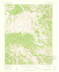
Editions of this 1959 Black Mountain Map
3 editions found

Other maps of this area

1889 · Canon City
USGS Topo · 1:125,000

1892 · Canon City
USGS Topo · 1:125,000

1894 · Pikes Peak
USGS Topo · 1:125,000

1901 · Pikes Peak
USGS Topo · 1:125,000

1942 · Cover Mtn.
USGS Topo · 1:62,500

1948 · Cover Mtn.
USGS Topo · 1:62,500

1954 · Pueblo
USGS Topo · 1:250,000

1956 · Cameron Mountain
USGS Topo · 1:62,500

1957 · Pueblo
USGS Topo · 1:250,000

1958 · Pueblo
USGS Topo · 1:250,000