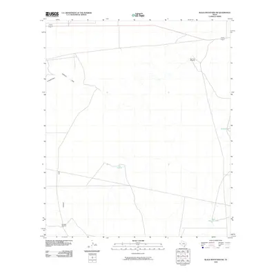
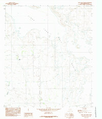
2010 Map of Black Mountains NW
USGS Topo · Published 2010About this map
Arid ranchland and drainage patterns define this corner of Hudspeth County, where water management is the primary marker of human activity. The landscape is carved by seasonal watercourses such as Antelope Draw and Eightmile Draw, which feed into local catchments and depressions. Isolated water sources like Eightmile Windmill and Red Well Windmill serve as critical landmarks in this open terrain, indicating the infrastructure required for livestock and survival in the Trans-Pecos region.
Find a feature on this map
8 named features on this map. Tap any name to fly to it.
Don’t see what you’re looking for? This feature index may not catch every label — zoom into the map to look around manually.
Map Details
Editions of this 2010 Black Mountains NW Map
This is the sole edition of this map. No revisions or reprints were ever made.
Other maps of this area

1951 · Dell City
USGS Topo · 1:62,500

1951 · Red Hills
USGS Topo · 1:62,500

1954 · Van Horn
USGS Topo · 1:250,000

1955 · Cerro Diablo
USGS Topo · 1:62,500

1955 · Black Mountains
USGS Topo · 1:62,500

1958 · Van Horn
USGS Topo · 1:250,000
1984 · Mickey Draw West
USGS Topo · 1:24,000
1984 · Babb Canyon
USGS Topo · 1:24,000
1984 · Black Mountains NW
USGS Topo · 1:24,000
1984 · Linda Lake South
USGS Topo · 1:24,000