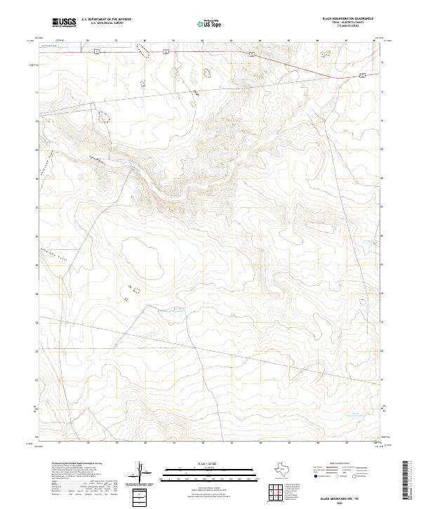
2022 Map of Black Mountains NW
USGS Topo · Published 2022About this map
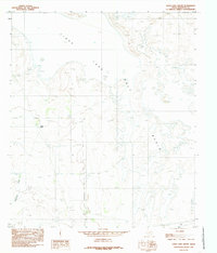
Antelope Draw and Eightmile Draw define the drainage patterns of this arid Hudspeth County landscape, carving through a high-altitude basin typical of the Trans-Pecos region. The presence of water-management features such as Grable Tank and Black Mountain Tank indicates a landscape primarily managed for ranching and livestock, where reliable water sources are critical to land use.
Find a feature on this map
8 named features on this map. Tap any name to fly to it.
Don’t see what you’re looking for? This feature index may not catch every label — zoom into the map to look around manually.
Map Details
Editions of this 2022 Black Mountains NW Map
This is the sole edition of this map. No revisions or reprints were ever made.
Other maps of this area

1951 · Dell City
USGS Topo · 1:62,500

1951 · Red Hills
USGS Topo · 1:62,500

1954 · Van Horn
USGS Topo · 1:250,000

1955 · Cerro Diablo
USGS Topo · 1:62,500

1955 · Black Mountains
USGS Topo · 1:62,500

1958 · Van Horn
USGS Topo · 1:250,000
1984 · Mickey Draw West
USGS Topo · 1:24,000
1984 · Babb Canyon
USGS Topo · 1:24,000
1984 · Black Mountains NW
USGS Topo · 1:24,000
1984 · Linda Lake South
USGS Topo · 1:24,000