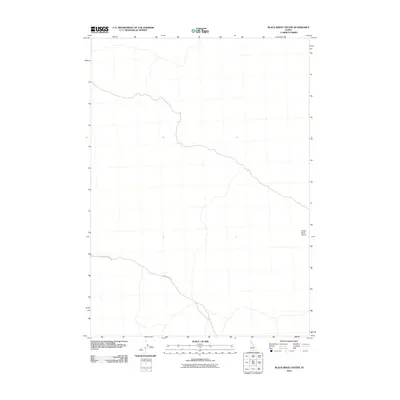
2010 Map of Black Ridge Crater
USGS Topo · Published 2010About this map
The Snake River Plains dominate this portion of Lincoln County, revealing a landscape defined by its volcanic heritage and minimal human footprint. This region of Idaho is characterized by the subtle topographies of the eastern Snake River Plain, where the basaltic terrain influences the drainage patterns and road placements. A solitary transportation artery, Richfield-Sid Rd, winds through the western half of the quadrangle, serving as the primary link across this expansive volcanic plateau. The lack of named settlements or permanent structures on this map highlights the sparse, utilitarian nature of the land use in the early 21st century, where the environment remains largely dictated by geologic features rather than urban development.
Find a feature on this map
2 named features on this map. Tap any name to fly to it.
Don’t see what you’re looking for? This feature index may not catch every label — zoom into the map to look around manually.
Map Details
Editions of this 2010 Black Ridge Crater Map
This is the sole edition of this map. No revisions or reprints were ever made.
Other maps of this area

1954 · Pocatello
USGS Topo · 1:250,000

1955 · Idaho Falls
USGS Topo · 1:250,000

1955 · Twin Falls
USGS Topo · 1:250,000

1955 · Hailey
USGS Topo · 1:250,000

1958 · Twin Falls
USGS Topo · 1:250,000

1958 · Idaho Falls
USGS Topo · 1:250,000

1958 · Pocatello
USGS Topo · 1:250,000

1959 · Hailey
USGS Topo · 1:250,000

1962 · Hailey
USGS Topo · 1:250,000

1971 · Owinza
USGS Topo · 1:24,000