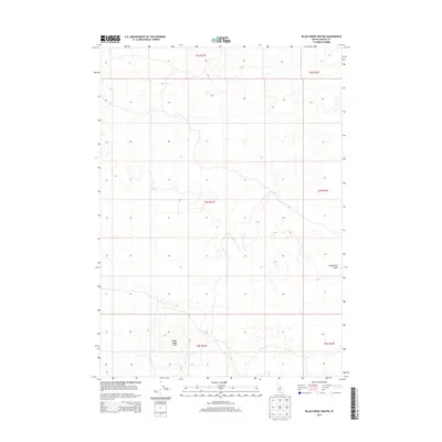
2013 Map of Black Ridge Crater
USGS Topo · Published 2013About this map
Black Ridge Crater dominates the southwestern portion of this Lincoln County landscape, a prominent volcanic landmark situated within the expansive Snake River Plains. This 2013 survey delineates the stark, open topography of the high desert, where subtle contour lines reveal the complex volcanic geology that defines this region of Idaho. The map is largely structured by the Public Land Survey System, showing the intersection of several townships including t4s r21e and t5s r22e. With very few man-made structures or developments present, the map highlights the natural state of the Idaho plains, serving as a clean record of the area's geomorphology before any modern encroachment or significant land-use changes.
Find a feature on this map
8 named features on this map. Tap any name to fly to it.
Don’t see what you’re looking for? This feature index may not catch every label — zoom into the map to look around manually.
Map Details
Editions of this 2013 Black Ridge Crater Map
This is the sole edition of this map. No revisions or reprints were ever made.
Other maps of this area

1954 · Pocatello
USGS Topo · 1:250,000

1955 · Idaho Falls
USGS Topo · 1:250,000

1955 · Twin Falls
USGS Topo · 1:250,000

1955 · Hailey
USGS Topo · 1:250,000

1958 · Twin Falls
USGS Topo · 1:250,000

1958 · Idaho Falls
USGS Topo · 1:250,000

1958 · Pocatello
USGS Topo · 1:250,000

1959 · Hailey
USGS Topo · 1:250,000

1962 · Hailey
USGS Topo · 1:250,000

1971 · Owinza
USGS Topo · 1:24,000