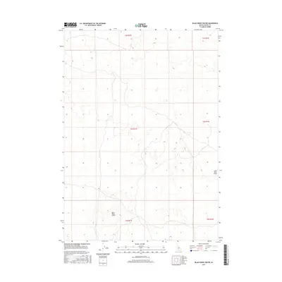
2017 Map of Black Ridge Crater
USGS Topo · Published 2017About this map
Black Ridge Crater dominates the southern reaches of this geological landscape within the broader Snake River Plains. This 2017 survey reveals an area defined by its volcanic heritage, where the relief of the crater is captured through precise contouring. The map illustrates the Public Land Survey System grid including t4s r21e and t5s r21e, showing a land primarily characterized by its natural features and drainage patterns. The absence of modern urban development or dense transportation networks emphasizes the preservation of the native terrain across this section of Lincoln County.
Find a feature on this map
8 named features on this map. Tap any name to fly to it.
Don’t see what you’re looking for? This feature index may not catch every label — zoom into the map to look around manually.
Map Details
Editions of this 2017 Black Ridge Crater Map
This is the sole edition of this map. No revisions or reprints were ever made.
Other maps of this area

1954 · Pocatello
USGS Topo · 1:250,000

1955 · Idaho Falls
USGS Topo · 1:250,000

1955 · Twin Falls
USGS Topo · 1:250,000

1955 · Hailey
USGS Topo · 1:250,000

1958 · Twin Falls
USGS Topo · 1:250,000

1958 · Idaho Falls
USGS Topo · 1:250,000

1958 · Pocatello
USGS Topo · 1:250,000

1959 · Hailey
USGS Topo · 1:250,000

1962 · Hailey
USGS Topo · 1:250,000

1971 · Owinza
USGS Topo · 1:24,000