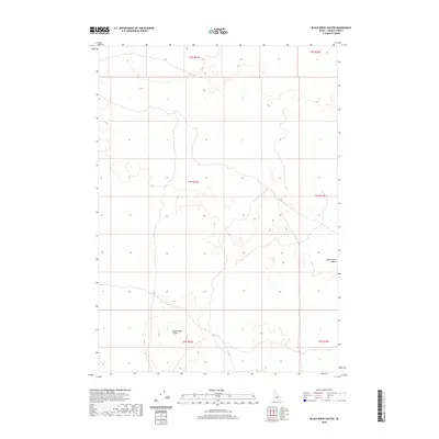
2020 Map of Black Ridge Crater
USGS Topo · Published 2020About this map
Black Ridge Crater dominates the southern landscape of this Lincoln County survey, marking a significant volcanic feature within the broader Snake River Plains. The topography is defined by the subtle elevation changes characteristic of this basaltic highland, where the lack of perennial surface water is reflected in the absence of named creeks or springs. This isolation is further emphasized by the sparse road network, consisting primarily of local and four-wheel-drive tracks that navigate the township boundaries of T4S R21E and T5S R21E. The map captures an era of modern land management in Idaho's high desert, where the vast open range of the Snake River Plains remains largely undeveloped, serving as a distinct record of the geologic character and remote wilderness of the region.
Find a feature on this map
8 named features on this map. Tap any name to fly to it.
Don’t see what you’re looking for? This feature index may not catch every label — zoom into the map to look around manually.
Map Details
Editions of this 2020 Black Ridge Crater Map
This is the sole edition of this map. No revisions or reprints were ever made.
Other maps of this area

1954 · Pocatello
USGS Topo · 1:250,000

1955 · Idaho Falls
USGS Topo · 1:250,000

1955 · Twin Falls
USGS Topo · 1:250,000

1955 · Hailey
USGS Topo · 1:250,000

1958 · Twin Falls
USGS Topo · 1:250,000

1958 · Idaho Falls
USGS Topo · 1:250,000

1958 · Pocatello
USGS Topo · 1:250,000

1959 · Hailey
USGS Topo · 1:250,000

1962 · Hailey
USGS Topo · 1:250,000

1971 · Owinza
USGS Topo · 1:24,000