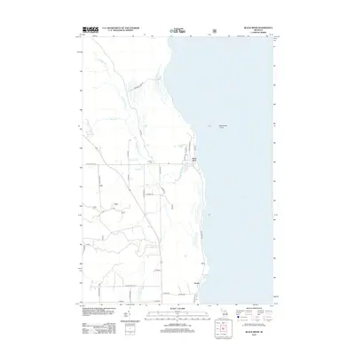
2012 Map of Black River
USGS Topo · Published 2012About this map
The Lake Huron coastline defines the character of this Alcona County landscape, where the Black River meets the Great Lake at the settlement of Black River. This coastal stretch is shaped by a complex network of tributaries, including DeRocher Cr, Gauthier Cr, and the N Br Black River, which weave through the terrain before reaching the shoreline. Near the mouth of the river, Black River Island sits just offshore, while inland bodies of water such as Muskrat Lake and Potvin Lake suggest a landscape dominated by wetlands and low-lying coastal drainage.
Find a feature on this map
35 named features on this map. Tap any name to fly to it.
Don’t see what you’re looking for? This feature index may not catch every label — zoom into the map to look around manually.
Map Details
Editions of this 2012 Black River Map
This is the sole edition of this map. No revisions or reprints were ever made.
Other maps of this area

1954 · Tawas City
USGS Topo · 1:250,000

1958 · Tawas City
USGS Topo · 1:250,000
1959 · Harrisville
USGS Topo · 1:62,500
1971 · Spruce
USGS Topo · 1:24,000
1971 · Black River
USGS Topo · 1:24,000
1971 · South Point
USGS Topo · 1:24,000
1971 · Ossineke
USGS Topo · 1:24,000
1983 · Hubbard Lake
USGS Topo · 1:100,000
1989 · Harrisville
USGS Topo · 1:24,000
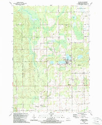
1989 · Lincoln
USGS Topo · 1:24,000