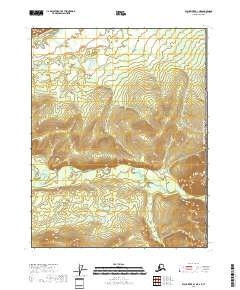
2018 Map of Black River B-1 NE
USGS Topo · Published 2018About this map
Salmon Fork Black River defines the northern edge of this remote borderland, where the water cuts through high ridges near the international boundary. This 2018 survey captures a landscape dominated by dramatic relief and the seasonal drainages of the Yukon-Koyukuk region. To the southeast, the headwaters of Racquet Cr. emerge from the steep slopes of the eastern hills, flowing westward through the township of t18n r31e. The map documents the precise division of the United States of America Canada border, which runs vertically along the eastern margin of the sheet. This boundary serves as the primary landmark in a wilderness area devoid of permanent settlements, reflecting the austere character of the Porcupine River basin.
Find a feature on this map
7 named features on this map. Tap any name to fly to it.
Don’t see what you’re looking for? This feature index may not catch every label — zoom into the map to look around manually.
Map Details
Editions of this 2018 Black River B-1 NE Map
This is the sole edition of this map. No revisions or reprints were ever made.
Other maps of this area

1951 · Black River
USGS Topo · 1:250,000

1956 · Black River B-1
USGS Topo · 1:63,360
1956 · Black River C-1
USGS Topo · 1:63,360

1956 · Black River
USGS Topo · 1:250,000

1964 · Black River
USGS Topo · 1:250,000
2018 · Black River B-1 NW
USGS Topo · 1:25,000
2018 · Black River C-1 SW
USGS Topo · 1:25,000
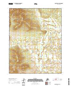
2018 · Black River B-1 SW
USGS Topo · 1:25,000
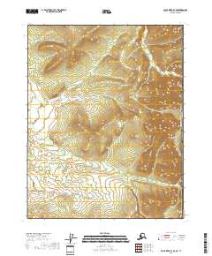
2018 · Black River B-1 SE
USGS Topo · 1:25,000
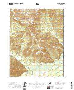
2018 · Black River C-1 SE
USGS Topo · 1:25,000