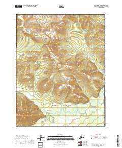
2018 Map of Black River C-1 SE
USGS Topo · Published 2018About this map
The United States of America border with Canada defines the eastern edge of this remote Arctic landscape. Situated in the Yukon-Koyukuk Census Area, the topography is dominated by the winding drainage systems of the Salmon Fork Black River and Rice Gulch Cr. The map reveals a wild, unpopulated interior where the natural hydrography dictates the shape of the land, showing the high-elevation ridges that feed into these significant waterways. This 2018 survey provides an essential look at the international boundary line where it intersects the rugged drainage basins of the Salmon Fork Black River system, far removed from established roads or settlements.
Find a feature on this map
10 named features on this map. Tap any name to fly to it.
Don’t see what you’re looking for? This feature index may not catch every label — zoom into the map to look around manually.
Map Details
Editions of this 2018 Black River C-1 SE Map
This is the sole edition of this map. No revisions or reprints were ever made.
Other maps of this area

1951 · Black River
USGS Topo · 1:250,000

1956 · Black River B-1
USGS Topo · 1:63,360
1956 · Black River C-1
USGS Topo · 1:63,360

1956 · Black River
USGS Topo · 1:250,000

1964 · Black River
USGS Topo · 1:250,000
2018 · Black River B-1 NW
USGS Topo · 1:25,000
2018 · Black River C-1 NW
USGS Topo · 1:25,000
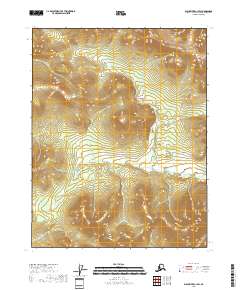
2018 · Black River C-1 SW
USGS Topo · 1:25,000
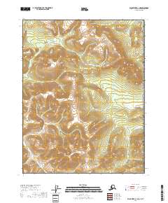
2018 · Black River C-1 NE
USGS Topo · 1:25,000
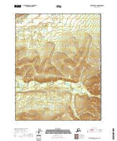
2018 · Black River B-1 NE
USGS Topo · 1:25,000