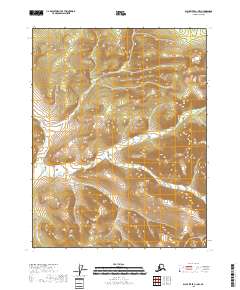
2018 Map of Black River C-1 NW
USGS Topo · Published 2018About this map
Tetthajik Cr winds through the high interior of the Yukon-Koyukuk region, defining the drainage patterns of this expansive Alaskan landscape. This 2018 survey documents a territory shaped by significant elevation changes, where the stream bed carves through a series of ridges and valleys within the public land survey system. The map provides precise grid details for the intersection of townships t22n r29e, t22n r30e, t21n r29e, and t21n r30e, offering a technical look at the administrative boundaries that overlay this wilderness. For researchers tracking historical land use or environmental shifts in the 21st century, the contour lines and hydrography illustrate the unpopulated terrain as it remains today.
Find a feature on this map
5 named features on this map. Tap any name to fly to it.
Don’t see what you’re looking for? This feature index may not catch every label — zoom into the map to look around manually.
Map Details
Editions of this 2018 Black River C-1 NW Map
This is the sole edition of this map. No revisions or reprints were ever made.
Other maps of this area

1951 · Black River
USGS Topo · 1:250,000

1956 · Black River C-2
USGS Topo · 1:63,360

1956 · Black River D-2
USGS Topo · 1:63,360
1956 · Black River C-1
USGS Topo · 1:63,360
1956 · Black River D-1
USGS Topo · 1:63,360

1956 · Black River
USGS Topo · 1:250,000

1964 · Black River
USGS Topo · 1:250,000
2018 · Black River C-2 SE
USGS Topo · 1:25,000
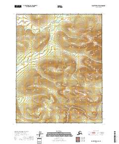
2018 · Black River D-1 SW
USGS Topo · 1:25,000
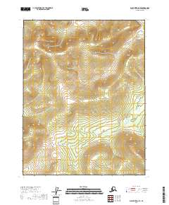
2018 · Black River D-2 SE
USGS Topo · 1:25,000