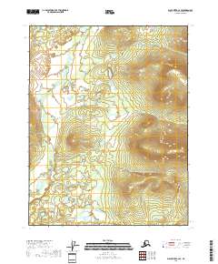
2018 Map of Black River C-2 SE
USGS Topo · Published 2018About this map
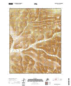
Tetthajik Cr winds through this expanse of the Yukon-Koyukuk Census Area, illustrating a remote landscape defined by its complex drainage patterns and varied elevations. The terrain is structured by the Public Land Survey System, with boundaries clearly demarcating t21n r28e, t20n r28e, and t19n r28e, among others. This area of Alaska, north of the Arctic Circle, shows a transition from low-lying wetlands and stream beds to significant upland ridges, reaching heights that exceed 2,500 feet in the eastern sections. The lack of named settlements or man-made infrastructure in this 2018 survey emphasizes the isolation of the region, where the primary geographical markers are the natural contours and the subtle path of the creek system as it traverses the townships.
Find a feature on this map
7 named features on this map. Tap any name to fly to it.
Don’t see what you’re looking for? This feature index may not catch every label — zoom into the map to look around manually.
Map Details
Editions of this 2018 Black River C-2 SE Map
This is the sole edition of this map. No revisions or reprints were ever made.
Other maps of this area

1951 · Black River
USGS Topo · 1:250,000

1956 · Black River B-2
USGS Topo · 1:63,360

1956 · Black River B-1
USGS Topo · 1:63,360

1956 · Black River C-2
USGS Topo · 1:63,360
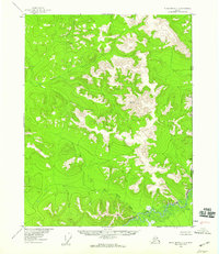
1956 · Black River C-1
USGS Topo · 1:63,360

1956 · Black River
USGS Topo · 1:250,000

1964 · Black River
USGS Topo · 1:250,000
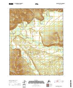
2018 · Black River B-1 NW
USGS Topo · 1:25,000
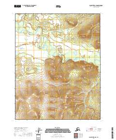
2018 · Black River B-2 NE
USGS Topo · 1:25,000
2018 · Black River C-1 NW
USGS Topo · 1:25,000