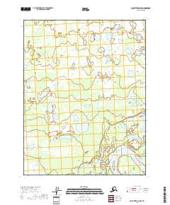
2018 Map of Black River D-6 NW
USGS Topo · Published 2018About this map
Yukon Flats dominates this corner of the Interior, revealing a dense network of water bodies and wetlands characteristic of this vast floodplain. The meandering Porcupine River flows through the southeastern quadrant, joined by the winding Sixmile Slough. This landscape is defined by its complex hydrology, where numerous named lakes such as Sams Big Lake, Moosehorn Lake, and Belle Lake are interconnected by smaller channels and seasonal drainages like Chandalar Cr. The map illustrates the wilderness character of the region, showing how the river systems and stagnant waters of Island Lake and Rock Lake shift across the low-lying terrain. Without roads or permanent settlements shown, the sheet emphasizes the natural geography that has long dictated movement and subsistence in this part of Alaska.
Find a feature on this map
15 named features on this map. Tap any name to fly to it.
Don’t see what you’re looking for? This feature index may not catch every label — zoom into the map to look around manually.
Map Details
Editions of this 2018 Black River D-6 NW Map
This is the sole edition of this map. No revisions or reprints were ever made.
Other maps of this area

1951 · Fort Yukon
USGS Topo · 1:250,000

1951 · Black River
USGS Topo · 1:250,000

1951 · Coleen
USGS Topo · 1:250,000

1951 · Christian
USGS Topo · 1:250,000

1956 · Coleen
USGS Topo · 1:250,000

1956 · Black River D-6
USGS Topo · 1:63,360
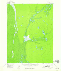
1956 · Coleen A-6
USGS Topo · 1:63,360
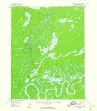
1956 · Fort Yukon D-1
USGS Topo · 1:63,360

1956 · Christian
USGS Topo · 1:250,000

1956 · Fort Yukon
USGS Topo · 1:250,000