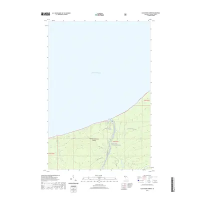
2019 Map of Black River Harbor
USGS Topo · Published 2019About this map
Lake Superior dominates the northern half of this coastal landscape, meeting the shoreline at the protected inlet of Black River Harbor. The area is characterized by a dense concentration of waterfalls where the river and its tributaries descend toward the Great Lakes, including Rainbow Falls, Manakiki Falls, and the notable Conglomerate Falls. These geological features are preserved within the Ottawa National Forest and along the protected corridor of the Black Wild and Scenic River.
Find a feature on this map
23 named features on this map. Tap any name to fly to it.
Don’t see what you’re looking for? This feature index may not catch every label — zoom into the map to look around manually.
Map Details
Editions of this 2019 Black River Harbor Map
This is the sole edition of this map. No revisions or reprints were ever made.
Other maps of this area

1953 · Ashland
USGS Topo · 1:250,000

1956 · Carp River
USGS Topo · 1:62,500

1956 · North Ironwood
USGS Topo · 1:62,500

1956 · Thomaston
USGS Topo · 1:62,500

1958 · Ashland
USGS Topo · 1:250,000

1958 · Iron River
USGS Topo · 1:250,000

1960 · Iron River
USGS Topo · 1:250,000

1961 · Iron River
USGS Topo · 1:250,000

1967 · Iron River
USGS Topo · 1:250,000

1979 · Ontonagon
USGS Topo · 1:100,000